
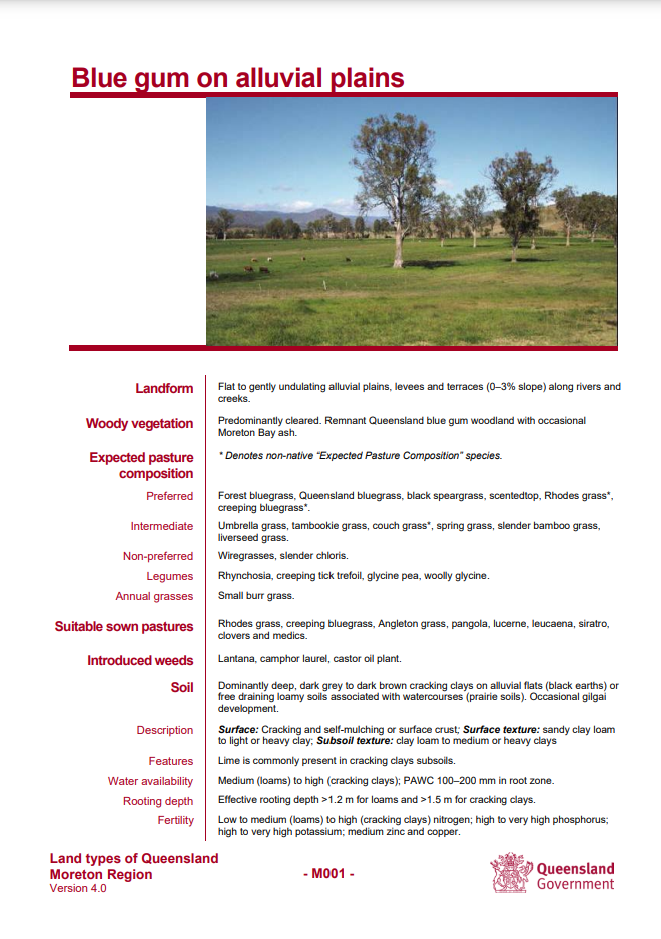
 Grazing Land Management (GLM) Land types of Queensland have been revised, updated and improved to reflect user needs and latest available information. The current version (V4.0) of Land types of Queensland now includes modelled long-term carrying capacity information that is consistent with the information provided through FORAGE (LongPaddock).
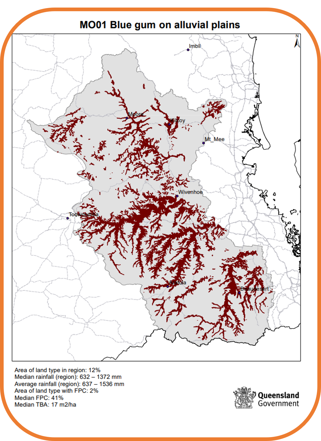 New complimentary regional land type maps provide a summary of the distribution, rainfall and tree cover for each of the 240+ land types. Additionally, descriptions and regional maps for the new 17 land types of the Darling Downs region are now included.
Greater understanding of the pastures and carrying capacity of land types will enable users to be more confident in grazing land management decisions such as matching number and class of livestock to land types while maintaining or improving land condition.
