Improved GLM land type mapping goes live
Users of the Grazing Land Management (GLM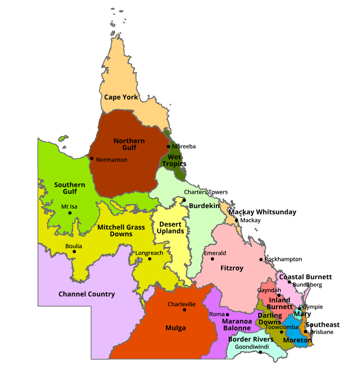 ) land type mapping can now access the new and improved versions of the mapping data.
“The GLM land type mapping now more accurately reflects what landholders are seeing on their properties. Greater mapping accuracy will allow users to be more confident in the decisions they make everyday, such as matching the number and class of livestock to the land types within a paddock while maintaining or improving land condition and biodiversity” said Project Lead Scientist, Chris Holloway.
“This new version, version 5, has been a collaborative effort between Department of Agriculture and Fisheries (DAF) and Department of Environment and Science, involving an extensive review, development of new approaches, and validation with regional experts to create the best land type spatial layer for government and public use. It incorporates the current Regional Ecosystems data with new techniques that use information from agricultural climate zones and grass-type production to improve the accuracy of mapped GLM land types across Queensland.
Used extensively by DAF in a suite of extension programs (GLM EDGE training packages, Stocktake), for property mapping, assessing land condition (VegMachine) and bio-economic modelling, the GLM land type spatial data is also a key input in the FORAGE grazing decision support tool available on the Long Paddock website that provides information to assist land managers in grazing and environmental management decisions.”
Access GLM land type spatial data
The latest (February 2019) GLM land type spatial data is now available for GIS users to download from the publicly-accessible QSpatial website.
Feedback and contacts
GLM Land types of Queensland mapping will continue to be revised and validated as required to include any spatial data updates, additional land types or feedback.