NT Sustainable Pastoral Carrying Capacity Project
Matching stocking rates to the long term carrying capacity of a paddock helps maintain land condition and supports consistent animal productivity through variable rainfall years. Carrying capacity is calculated from the amount of pasture grown in a median rainfall year, often called ‘median pasture growth’. Median pasture growth can be estimated by calibrating the GRASP pasture growth model using data collected from fenced exclosures known as SWIFTSYND sites. Each site represents a unique land type and once calibrated, the model can be run for different locations using site specific rainfall data to estimate median pasture growth.
The NT Sustainable Pastoral Carrying Capacity project aims to address gaps for important land types where GRASP models do not exist. Data will be collected from new and existing SWIFTSYND pasture sites in the Victoria River District (VRD) and the Alice Springs region.
This is a collaborative project between NT Department of Agriculture and Fisheries and Department of Lands Planning and Environment (DLPE), and the Australian Government Department of Agriculture Fisheries and Forestry as part of the National Soil Action Plan. The Partnering to Implement the National Soil Action Plan program is a $20 million initiative from the 2023-2024 budget, where the Australian Government is partnering with states and territories to deliver 17 projects that address one or more priority actions of the National Soil Action Plan (2023-2028).
Key Objectives:
- Establish, measure and compile pasture growth and soil data at representative SWIFTSYND sites across the VRD.
- Model land type based pasture growth to calcluate carrying capacity across the VRD and Alice Springs region supporting improved soil and land management outcomes.
- Identify new SWIFTSYND sites in representative land types across the Alice Springs region. Describe, sample and analyse for a range of properties critical to driving improved soil and land management.
What data are we collecting?
The project relies on soil and vegetation mapping, which DLPE has available across the VRD and a number of pastoral stations in the Finke River catchment.
In the VRD, pasture, soil and rainfall data will be collected over two years from five new SWIFTSYND sites. Each site is a 30m x 30m fenced area that excludes all grazing to capture exact pasture growth.
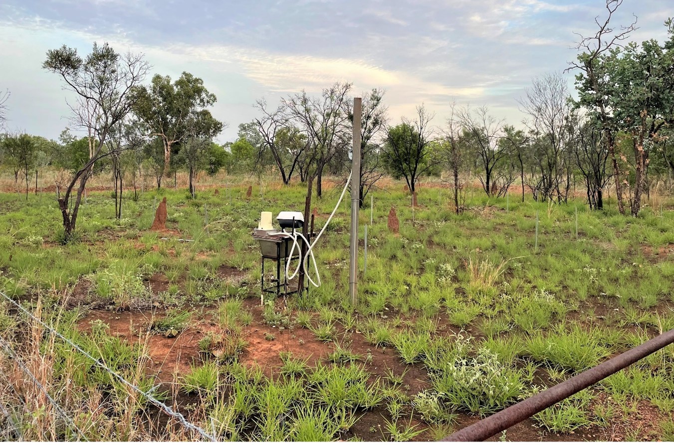
Measurements will be taken four times per year over two years, including:
- species composition
- pasture height
- pasture yield
- soil moisture content
- ground cover
- grass basal area
- tree basal area
- foliage cover
- pasture nutrient content
- daily rainfall.
This dataset will be used to calibrate the GRASP model to estimate land type specific pasture growth and calculate carrying capacity.
The VRD has been divided into 27 Grazing Land Management Units (GLMUs) representing similar soil and pasture properties. While some units already have exisiting GRASP models, this project will establish SWIFTSYND sites in GLMU’s that currently lack models.
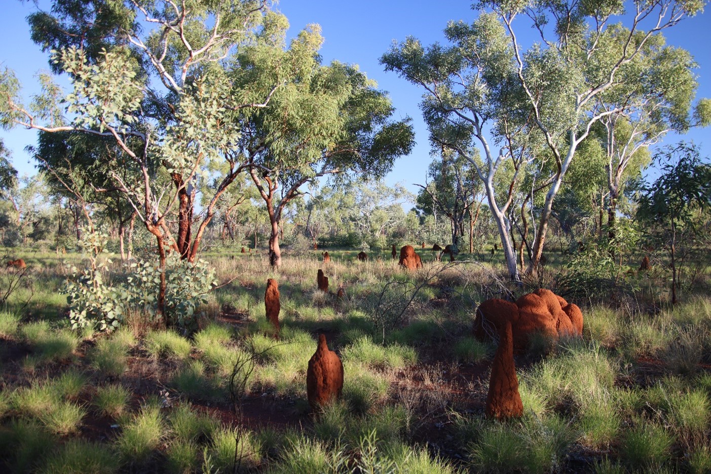
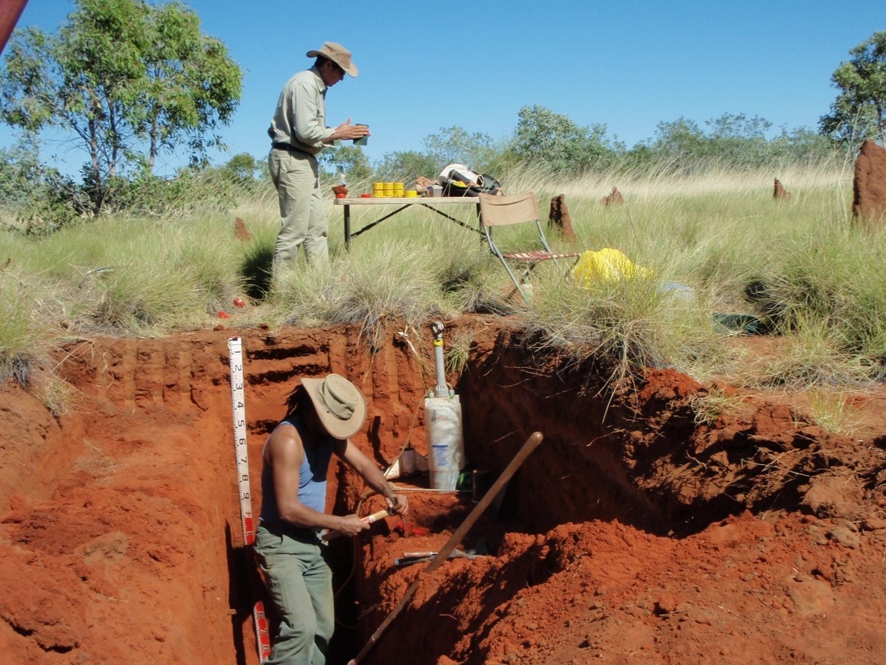
Additional data will also be collected from existing Alice Springs SWIFTSYND sites with a focus on soil information and refining regional GLMUs. For the first time this project will laboratory test a number of key pastoral soils across the Alice Springs region.
Detailed soil information is collected at each SWIFTSYND site. Soil moisture retention is critical to the carrying capacity model. Soil information can also identify land types most at risk of land degradation such as erosion.
What are the outcomes of the project?
The Carrying Capacity project brings together a number of stakeholders across the NT and will deliver practical outcomes for land managers by providing regionally specific carrying capacity estimates. It will also contribute soil and vegetation data to guide sustainable land management.
Stay tuned!
The Carrying Capacity project will be running until June 2027 and updates for this project will be provided on the FutureBeef website and via social media.
Project Manager (NT DAF)
Jaidyn Eastaughffe, Project Manager and Rangelands Research Officer, phone (08) 8973 9739 or email Jaidyn.Eastaughffe@nt.gov.au
This project was funded by the Australian Government Department of Agriculture, Fisheries and Forestry through the Partnering to Implement the National Soil Action Plan program.
